Archive Record
Images
Metadata
Title |
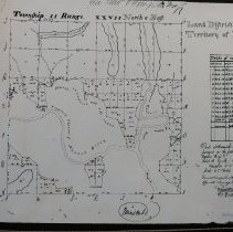
Town 2 N Range 27 E, 1834 |
Object Name |
Map |
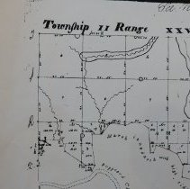
Scope & Content |
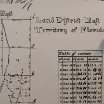
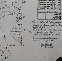
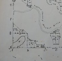
Town 2 N (north) Range 27 E (east) (copy) Surveyed by Paul McCormick, 1st quarter 1831, with Harman High and Robert B Grubb chainmen. Examined and approved by Robert Butler, January 1834. |
Object ID |
2013.021.026 |
Collection |
AIMH Maps |
Caption |
Town 2 N Range 27 E, 1834 |
Number of images |
5 |
People |
McCormick, Paul High, Harman Grubb, Robert B. Butler, Robert |
Search Terms |
Surveyed plats |
Subjects |
Maps Plats Surveying |
Date |
1834 |