Archive Record
Images
Additional Images [22]
Metadata
Title |
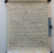
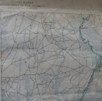
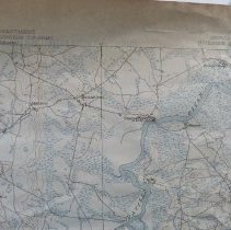
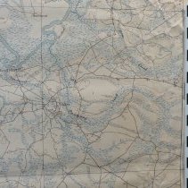
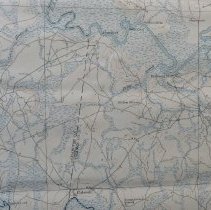
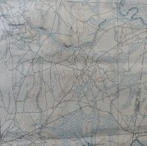
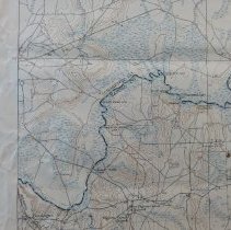
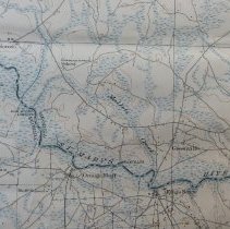
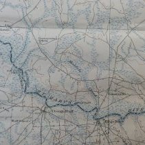
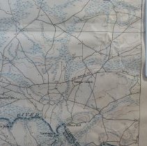
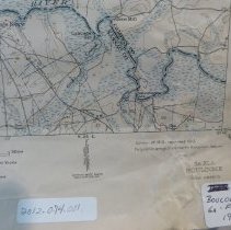
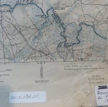
1919 Georgia, Florida Boulogne Quadrangle Topographic Map |
Object Name |
Map |
Scope & Content |
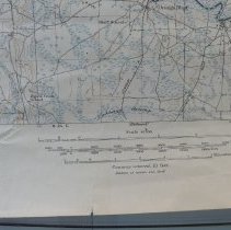
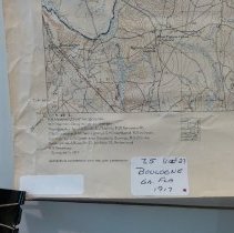
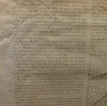
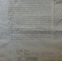
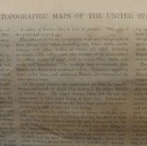
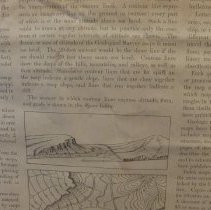
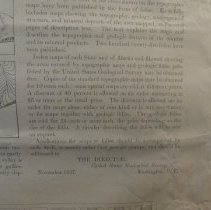
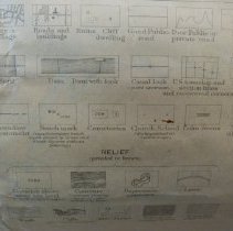
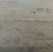
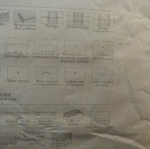
1919 edition topographic map of southern Charlton and Camden counties in Georgia and northern Nassau County Florida and the surrounding area.Surveyed by the U S Department of Interior, War Department with the U S Geological Survey. N3045 W8145/15. Contour interval 10 feet. This map was reprinted 1945. The reverse side of the map has information regarding all topographic maps including standard symbols printed by the U S Department of Interior and pricing as of 1937 . The survey was done in 1917 in cooperation with the War Dept. |
Object ID |
2012.074.001 |
Collection |
AIMH Maps |
Caption |
1919 Goergia, Florida Boulogne Quadrangle Topographic Map |
Number of images |
28 |
Search Terms |
Border Boulogne Georgia-Florida Border Satilla River St. Marys River |
Subjects |
Cities & towns Topographic maps |
Date |
1919 |