Archive Record
Images


Additional Images [1]
Metadata
Title |
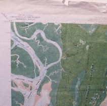
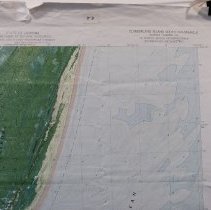
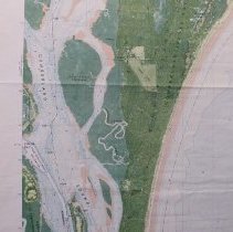
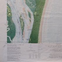
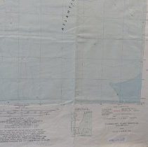
1979 Cumberland Island GA Quadrant 7.5 Orthophoto map |
Object Name |
Map |
Scope & Content |
Topographic map of Cumberland Island Ga and vicinity including Southeast GA. N 3052 W 8122.5/7.5 DMA 4545 IV NE series V 8450 |
Object ID |
1992.070.027 |
Collection |
AIMH Maps |
Caption |
1979 Cumberland Island GA Quadrant 7.5 Orthophoto map |
Number of images |
7 |
Search Terms |
Cumberland Island National Seashore Cumberland Sound Kings Bay Naval Submarine Base |
Subjects |
Cities & towns Topographic maps |
Date |
1979 |