Archive Record
Images
Additional Images [1]
Metadata
Title |
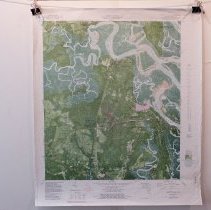
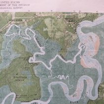
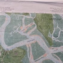
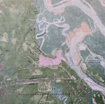
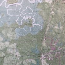
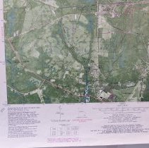
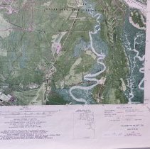
1980 Harriets Bluff Quadrant 7.5 Orthophoto map |
Object Name |
Map |
Scope & Content |
Topographic map of Kings Bay Ga and vicinity including Southeast GA . N 3045 W 8130/7.5 Photo Revised 1988. DMA 4545 I SE series V 8450 |
Object ID |
2012.092.001 |
Collection |
AIMH Maps |
Caption |
1980 Harriets Bluff Quadrant 7.5 Orthophoto map |
Number of images |
7 |
Search Terms |
Kings Bay Naval Submarine Base Crooked River State Park (GA) Cumberland Island National Seashore St. Marys, GA |
Subjects |
Cities & towns Topographic maps |
Date |
1980 |