Archive Record
Images
Additional Images [5]
Metadata
Title |
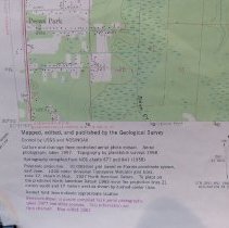
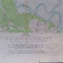
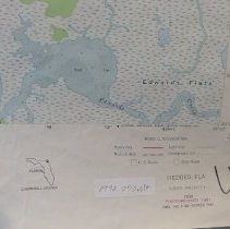
1981 Hedges Quadrangle 7.5 minute Topographic Map |
Object Name |
Map |
Scope & Content |
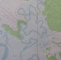
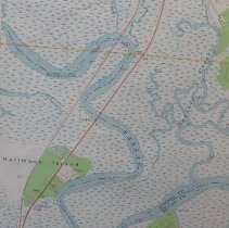
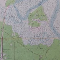
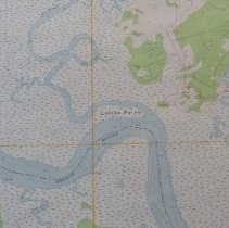
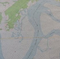
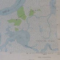
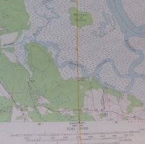
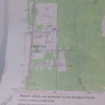
Topographic map of Hedges, Florida and the surrounding area. Photorevised 1981 Mapped, edited and published by the Geological Survey. Control by USGS, USC&GS and Florida Geodetic Survey.DMA 645 II SE Series V 847. N3030 W8130/7.5 |
Object ID |
1992.070.012 |
Collection |
AIMH Maps |
Caption |
1981 Hedges Quadrangle 7.5 minute Topographic Map |
Number of images |
11 |
Search Terms |
O'Neil Seaboard Coast Line Railroad Buccaneer Trail Yulee Heights Nassau River Lofton Creek Nassauville Seaboard Coast Line Railroad Pecan Park |
Subjects |
Cities & towns Topographic maps |
Date |
1981 |