Archive Record
Images
Metadata
Title |
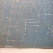
Plat Survey for Paul S Hauton 1939 |
Object Name |
Map |
Scope & Content |
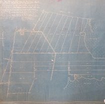
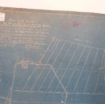
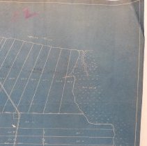
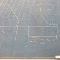
Plat Survey for Paul S Hauton, Township 3N R28E Section 42,43 and 48. December20,1939, by W L Beugnet Surveyor, The old Lofton to Chester road forms the western boundary, with Bell's River to the north and salt marshes to the east. |
Object ID |
2013.021.076 |
Collection |
AIMH Maps |
Caption |
Plat Survey for Paul S Hauton 1939 |
Number of images |
5 |
People |
Beugnet, William L. Hauton, Paul S |
Search Terms |
Bells River Lofton Chester |
Subjects |
Maps Cities & towns Plats |
Date |
12/20/1939 |