Archive Record
Images

Additional Images [9]


Metadata
Title |
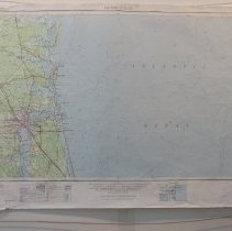
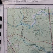
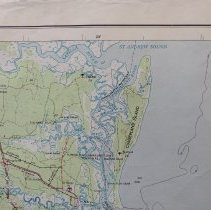
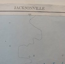
1957 Jacksonville FL, SE Georgia Topographic Map |
Object Name |
Map |
Scope & Content |
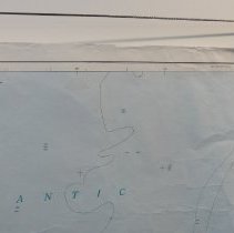
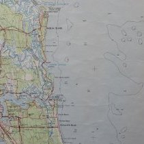
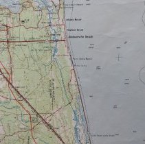
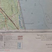
Topographic map of Jacksonville, Florida and the surrounding area. Limited revision 1966. By the U S Army Map Service, Corps of Engineers. St Andrews Sound (Georgia) to South Ponte Vedra Beach (Florida). N3000 to N3100, W8000 To W8200 |
Object ID |
1992.070.015 |
Collection |
AIMH Maps |
Caption |
1957 Jacksonville FL, SE Georgia Topographic Map |
Number of images |
15 |
Search Terms |
Cumberland Island, GA Cumberland Sound Satilla River Seaboard Air Line Railroad St. Marys, GA St. Marys River Fort Clinch State Park Fernandina Beach Amelia Island American Beach Franklintown Nassau Sound Nassau River St. Johns River Mayport Naval Station Mayport Naval Air Station |
Subjects |
Cities & towns Topographic maps |
Date |
1957 |