Archive Record
Images
Additional Images [18]

Metadata
Title |
1969 Nautical Chart Cumberland Sound GA, Fernandina FL |
Object Name |
Map |
Scope & Content |
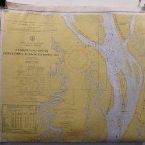
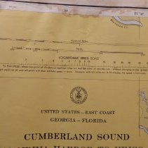
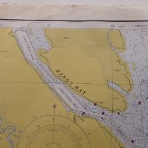
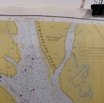
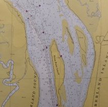
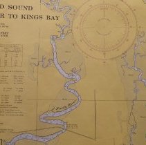
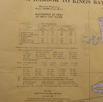
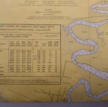
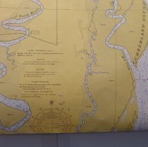
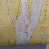
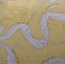
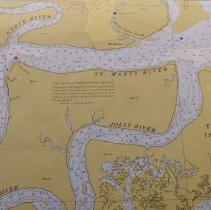
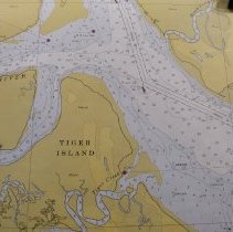
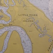
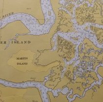
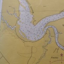
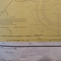
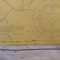
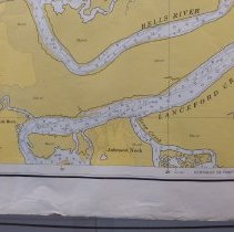
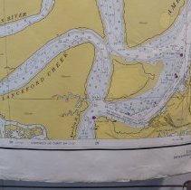
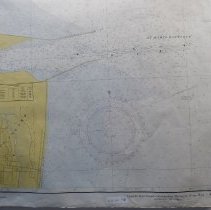
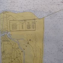
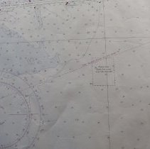
1969 Nautical chart of Cumberland Sound Southeast GA, and Northeast FL, Amelia Island. Produced by the National Oceanic and Atmospheric Administration and the National Ocean Service. |
Object ID |
2013.021.134 |
Collection |
AIMH Maps |
Caption |
1969 Nautical Chart Cumberland Sound GA, Fernandina Fl |
Number of images |
24 |
Search Terms |
Amelia River Cumberland Island, GA Dungeness Egans Creek Fernandina Beach Fort Clinch Kings Bay Old Fernandina St. Marys St. Marys River Tiger Island |
Subjects |
Maps Navigational Charts |
Date |
1969 |