Search Term Record
Metadata
Name |
Map |
Number of Archive records |
37 |
Number of Object records |
3 |
Number of Library records |
1 |
Number of Photo records |
6 |
Related Records
-
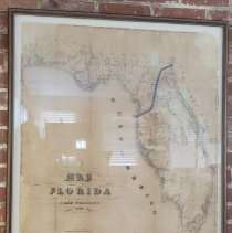
1837 Lithograph linen map of Florida with the path of the Florida Central and Peninsular Railroad Co. - Map
Record Type: Archive
-
-
-
-
-
-
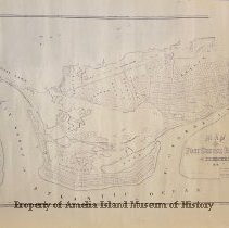
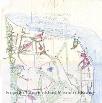
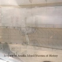
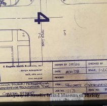
1984 Survey Map - Water Lots 2 and 3 - Map
Two idendtical survey maps recording the North 105 ft. of water lot 2, and the South 100 ft. of water lot 3. The lots are located between North Front Street and the Amelia River.
Record Type: Object

-
-
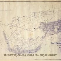
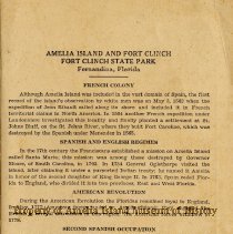
Amelia Island and Fort Clinch State Park brochure including map of fort - Brochure
Record Type: Archive
-
-

-
-
-
-
-
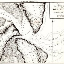
Del Rio Nassau Map - Photograph
Del Rio Nassau Map Helen Litrico's photo slides for the Amelia Now magazine.
Record Type: Photo
-
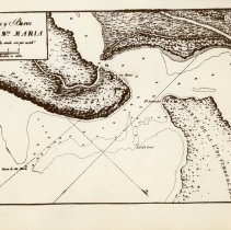
Del Rio Santa Maria Map - Photograph
Del Rio Santa Maria Map Helen Litrico's photo slides for the Amelia Now magazine.
Record Type: Photo
-
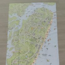
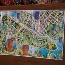
Discovery Map of Amelia ISland, Fernandina BEach & Yulee, FL and Historic St. Marys & Kingsland, GA - Map
Record Type: Archive
-
-
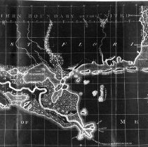
Ellicott Map of 1803 - Photograph
Ellicott Map of 1803 Helen Litrico's photo slides for the Amelia Now magazine.
Record Type: Photo