Search Term Record
Metadata
Name |
Buccaneer Trail |
Number of Archive records |
26 |
Number of Object records |
0 |
Number of Library records |
3 |
Number of Photo records |
3 |
Related Records
-
-
-
-

-
Amelia Island, Florida: a geographic study of recreation development - Book
Discussion of need, background, use and potential use of recreational facilities on Amelia Island
Record Type: Library

-
-
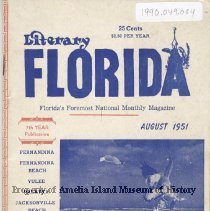
Ballads of the Buccaneer Trail: St. Marys to St. Augustine - Book
Copy signed by author.
Record Type: Library

-

-
-

-
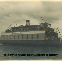
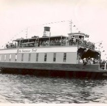
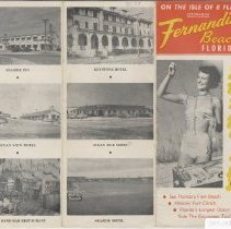
"Buccaneer Trail" Ferry - Postcard, Picture
32 - "The Buccaneer Trail" Ferry Connecting Fernandina Beach and the Jacksonville Beaches Route A1A - Florida On Back: The Buccaneer Trail (Fla. A1A) A magnificent new highway on the north- east Florida coast, with ferry service across the St. John's River. A historic and romantic area where once pirates buried stolen trea- sure and slave traders had a lucrative con- traband slave trade. Genuine Curteich-Chicago "C.T.Art-Colortone" ...
Record Type: Photo

-
Ferry Boat Jean LaFitte - Photograph
The Ferry Boat Jean Lafitte, Fernandina Beach, Florida - The Buccaneer Trail
Record Type: Photo
-
Ferry Boat Jean LaFitte - Print, Photographic
The Ferry Boat Jean Lafitte, Fernandina Beach, Florida - The Buccaneer Trail
Record Type: Photo
-

-
-
-
-
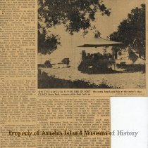
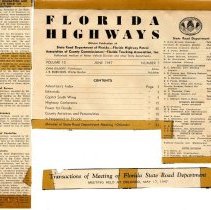
Newspaper clippings related to the Buccaneer Trail collected by the Chamber of Commerce. - Newspaper
Record Type: Archive
-
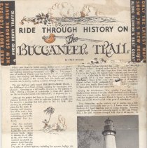
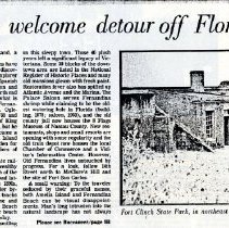
Pictures of the Buccaneer Trail Ferry, Amelia Lighthouse, and Shrimp Boats - Newspaper
Record Type: Archive

-