Search Term Record
Metadata
Name |
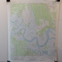
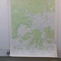
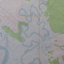
Nassau River |
Number of Archive records |
18 |
Number of Object records |
0 |
Number of Library records |
2 |
Number of Photo records |
1 |
Related Records
-
-

-
-
-
-
-
-
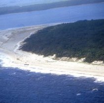
Aerial photograph of south end of Amelia Island - Print, Photographic
Aerial photographs of Amelia Island taken in August 2008 by Cara Curtin. Pilot was Andrew Curtin.
Record Type: Photo
-
-
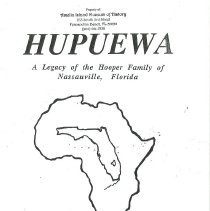
Hupuewa: A legacy of the Hooper family of Nassauville, Florida (partial copy - Book
African American settlers in Nassau County. This is a partial copy of this publication. The original complete copy is in the Jacksonville, Florida Library.
Record Type: Library
-
-
-
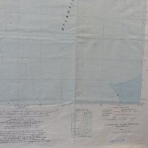
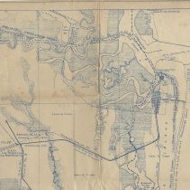
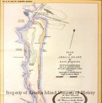
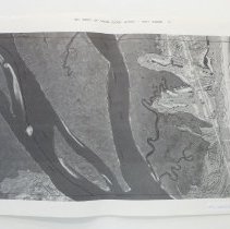
Map of Fernandina, Fla. and vicinity showing industrial & tourist potentialities - Map
Record Type: Archive
-
-
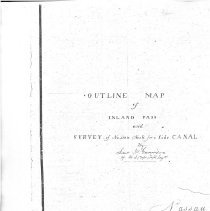
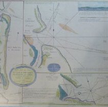
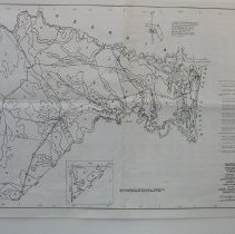
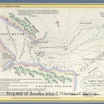
Nassau Sound: Based on soundings and observations recorded by Capt. William Fuller 1769 - Map
Record Type: Archive
-
-
-

-
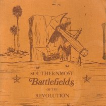
Southernmost Battlefields of the Revolution - Book
Covers several battles fought in northeast Florida during the Revolutionary War. Written and autographed by former Florida congressman, Charles E. Bennett.
Record Type: Library
-